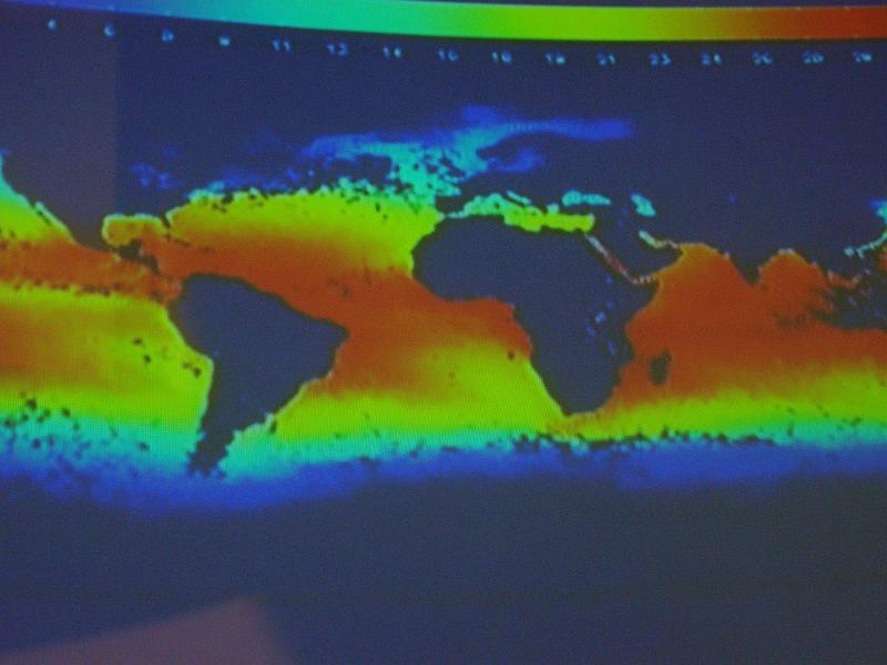
Image Description: Thermal imaging showing bands of hot and cold temperatues on a world map with South America and Africa in the centre
 By Downloading/Using this image "Thermal imaging on a world map" you agree to the terms of use
Download
Image Code


